Useful Links
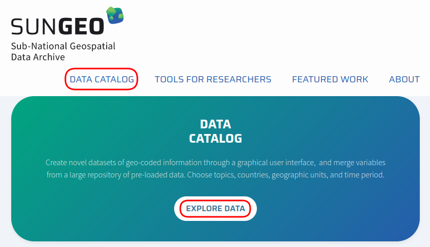
To explore and download pre-processed data, go to our Data Catalog.
To access the boundary files used to produce some of these data, go to our GIS Data page.
For information on data availability by country, topic, time period and level of analysis, see our Data Documentation page.
Vignettes and illustrative examples
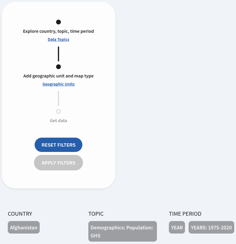
Example #1: Downloading a single data topic for a single country
- Let's begin by accessing the Data Catalog.
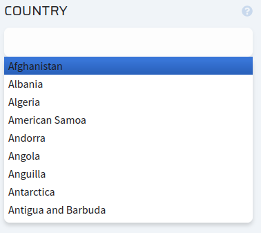
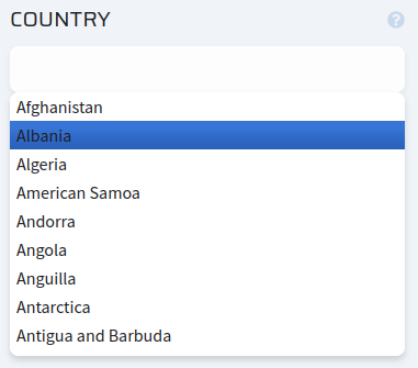
- Select the country. In this example, we'll use Afghanistan.

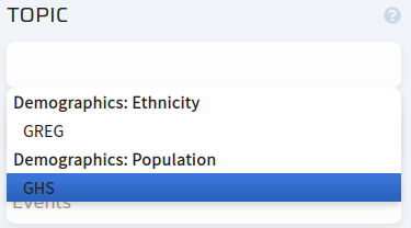
- Select the data topic. In this case, population data from GHS.

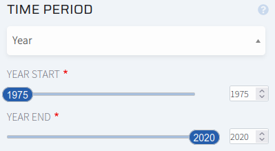
- Select the time unit, along with a date range for the data. Here, we will stick with the defaults (Year, all available dates).
- Once you have selected a country, topic and time period, click "Apply Filters" to proceed to the next step.

After applying the filters, your choices of country, topic and time period should be "locked in". Click "Reset Filters" to change any of these parameters.
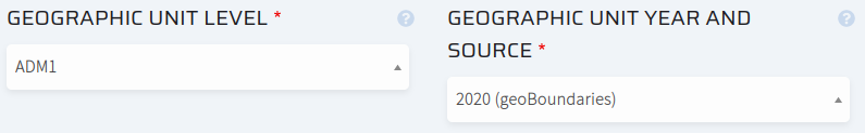
- Now let's select the geographic units and boundaries. Here we will choose "ADM1" (first-level administrative units, like U.S. states or Canadian provinces) and GeoBoundaries as the geographic unit source for the year 2020.
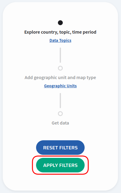
- Click "Apply Filters" again.
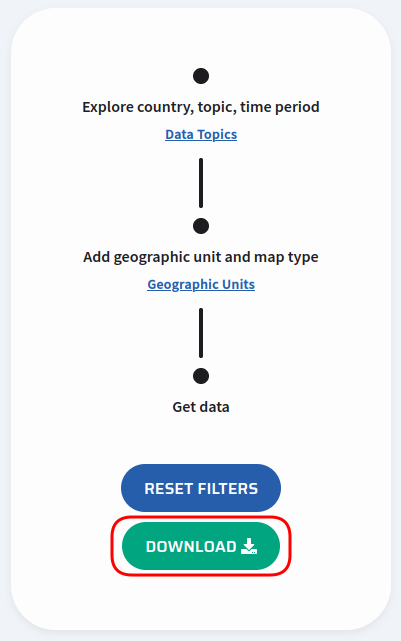
The "Apply Filters" button should be replaced with a "Download" button. Click it to begin downloading the data from the server, as a CSV file.
At the bottom of the screen, you should also see a map of the geographic units you have selected, with an optional download link.
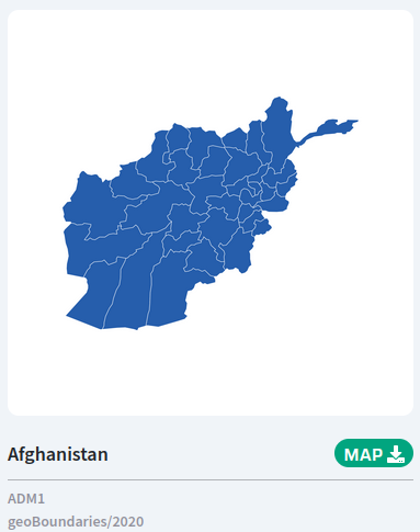
Note that clicking "Map" will only download the image of the map. If you wish to download the GIS vector boundary file used to generate this image, go to the SUNGEO Historical GIS Boundaries page.
Example #2: Downloading multiple data topics for multiple countries
- Let's begin by accessing the Data Catalog.
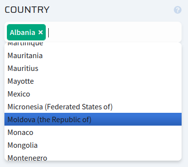
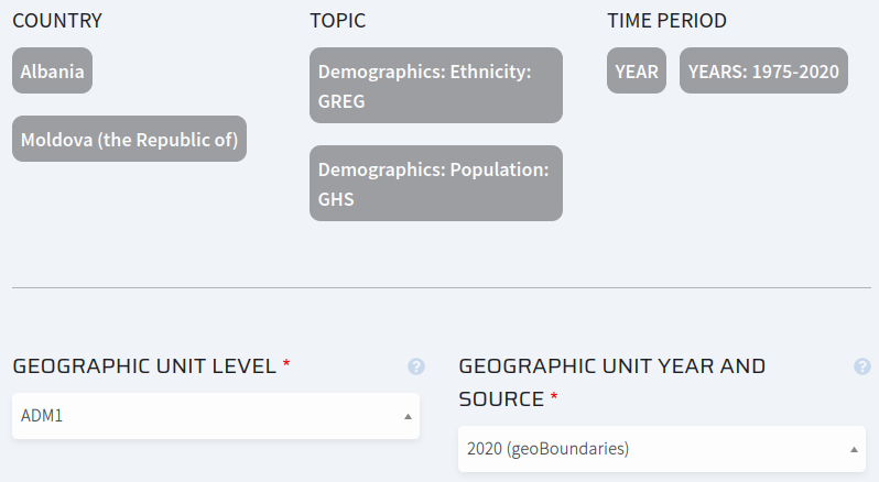
- Select the countries. In this example, we'll select Albania and Moldova.

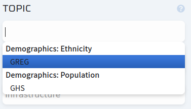
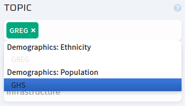
- Select the data topics. In this case, we will select ethnicity data from GREG and population data from GHS.

- Select the time unit, along with a date range for the data. Here, we will stick with the defaults (Year, all available dates).
- Once you have selected a country, topic and time period, click "Apply Filters" to proceed to the next step.
- Now let's select the geographic units and boundaries. Here we will choose "ADM1" (first-level administrative units, like U.S. states or Canadian provinces) and GeoBoundaries as the geographic unit source for the year 2020.
- Click "Apply Filters" again.

The "Apply Filters" button should be replaced with a "Download" button. Click it to begin downloading the data from the server, as a CSV file.

At the bottom of the screen, you should also see maps of both sets of geographic units you have selected, with an optional download link.
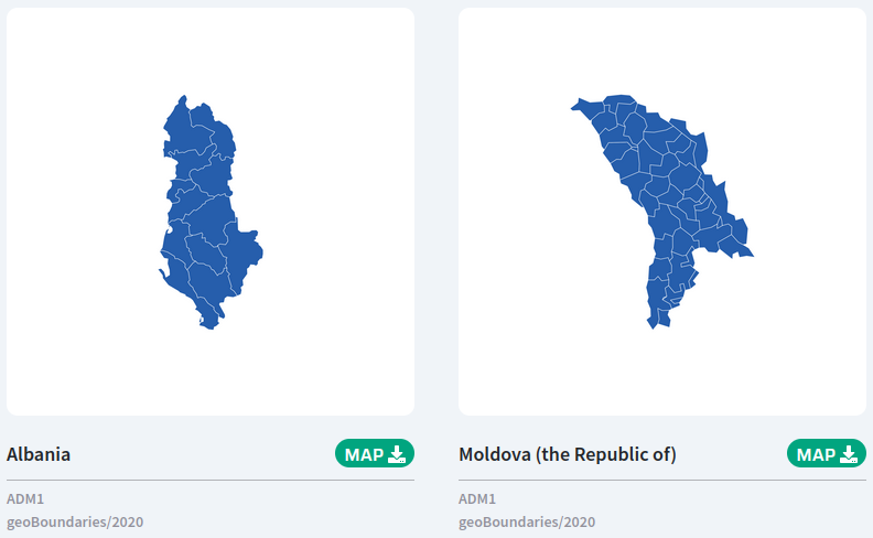
Note that clicking "Map" will only download the image of the map. If you wish to download the GIS vector boundary file used to generate this image, go to the SUNGEO Historical GIS Boundaries page.
Example #3: Other boundary sets, spatial and time units
- Let's begin by accessing the Data Catalog.
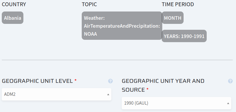
- Select the country. In this example, we'll use Albania.

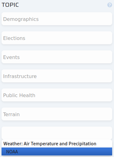
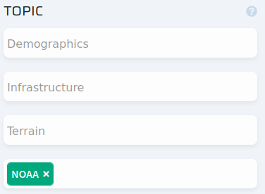
- Select the data topic. In this case, we will select air temperature and precipitation data from NOAA.
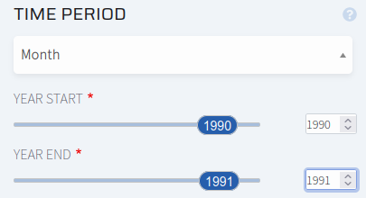
- Select the time unit, along with a date range for the data. Here, we will select months from 1990 to 1991.
- Once you have selected a country, topic and time period, click "Apply Filters" to proceed to the next step.
- Now let's select the geographic units and boundaries. Here we will choose "ADM2" (first-level administrative units, like U.S. counties) and GAUL as the geographic unit source for the year 1990.
- Click "Apply Filters" again.
The "Apply Filters" button should be replaced with a "Download" button. Click it to begin downloading the data from the server, as a CSV file.
At the bottom of the screen, you should also see a map of the geographic units you have selected, with an optional download link.
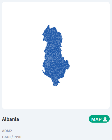
Note that clicking "Map" will only download the image of the map. If you wish to download the GIS vector boundary file used to generate this image, go to the SUNGEO Historical GIS Boundaries page.
To report a bug or view the list of known issues with the data, view our Issue Tracker